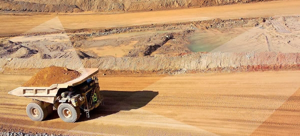
A mining geodesic subnet (GPS) was made, GPS support points for the georeferencing of satellite images and replenishment of borders were determined, of the mines granted in concession in the Provinces of Santa Cruz, Tierra del Fuego and Chubut, in the Argentine Republic.
The measurement was performed using satellite geodesy, compensation and adjustment techniques to points indicated in the point location plane of the subnet in each province, totaling 543 points.
The network points were distributed:
- 77 points in Chubut province
- 122 points in Santa Cruz province
- 5 points in Tierra del Fuego province.
This project was developed jointly with IFTA (Instituto Fototopográfico Argentino S.A.)


