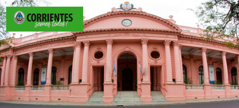
Inspection of the work of the project “Implementation of a Territorial Information System and Reorganization of the Catastrophe of the Province of Currents”.
Geosystems was responsible for inspecting the activities carried out under the project “Implementation of a Territorial Information System and Reorganization of the Catastro of the Province of Corrientes” which included as main activities:
- Elaboration of urban and rural mapping of the province with aerophoto-etrated procedures (Provincial Geodesic Network of 322 vertices, Order I, II, III and IV, implementation of 29 Urban Planimetric Networks, photogrammetric survey –aerotrianulation and restitution- of 29 localities and 1,000 km2 of suburban areas, rural parcel mapping and 1/50,000 scale images from across the province).
- Individualization of existing cadastral plans and final updating of cadastral records of the Province (reaching 215,000 plots)
- Acquisition of computer equipment
- Applications development
- Training and Implementation of a Geographic Information System.


